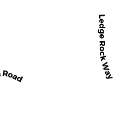
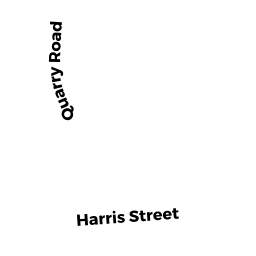
10 QUARRY RD
Owner Information
None
33 MICHAEL DR
RINDGE, NH 03461


Property Details
10 QUARRY RD is classified as a Single Family Residential (Cape cod).
The primary structure on this property was built in 1958. There are 3,429ft2 of built area within this property. There is 2,171ft2 of residential/living space within this property. This property is listed as having 6 rooms.
10 QUARRY RD is valued at $425,300. The land is valued at $213,200 and the structures are valued at $209,700. There is an additional valuation of $2,400 on this property.
This property is in Zone NAV. Confirm with local Zoning Board authorities to ensure there are no overlays or other easements on this property.
The most recent deed for 10 QUARRY RD is recorded at the local registrar in Book 46468, Page 60. 10 QUARRY RD was last sold on Monday, November 14, 2005 for $1.
Assessment data from fiscal year 2021.
Flood Data
According to the FEMA National Flood Hazard Layer, this property does not appear to be in a flood zone. It may also be in an area not yet reviewed. Nonetheless, confirm this information prior to taking any action.
To view the flood hazards around this property, create a FEMA "Firmette" Map of the area around 10 QUARRY RD.
Broadband Internet Providers
| Provider | Type | Bandwidth (mbps) | |
|---|---|---|---|
| CenturyLink | Copper Wire | 0 | 0 |
| Crown Castle Fiber | Fiber | 0 | 0 |
| HughesNet | Satellite | 25 | 3 |
| GCI Communication Corp. | Satellite | 0 | 0 |
| Verizon New England Inc. | DSL | 5 | 0 |
| Comcast | Cable | 1000 | 35 |
| Viasat Inc | Satellite | 100 | 3 |
| MCI | Copper Wire | 0 | 0 |
| VSAT Systems, LLC. | Satellite | 2 | 1 |
| Verizon New England Inc. | Fiber | 940 | 880 |
| T-Mobile | Fixed Wireless | 25 | 3 |
Broadband service provider data from December 2020.
Adjacent Properties
- 10 QUARRY RD
Warehouses for storage of manufactured products owned by None - QUARRY RD
Other, Open Space owned by None - 3 SULLIVAN LN
Condo NL MDL-0 owned by None - 5 SULLIVAN LN
Condo NL MDL-0 owned by None - 9 SULLIVAN LN
Condo NL MDL-0 owned by None - 3 MARTHA LN
Condo NL MDL-0 owned by None - 1 MARTHA LN
Condo NL MDL-0 owned by None - 5 MARTHA LN
Condo NL MDL-0 owned by None - 7 MARTHA LN
Condo NL MDL-0 owned by None - 1 SULLIVAN LN
Condo NL MDL-0 owned by None - 7 SULLIVAN LN
Condo NL MDL-0 owned by None - 11 SULLIVAN LN
Condo NL MDL-0 owned by None - 13 SULLIVAN LN
Condo NL MDL-0 owned by None - 10 SULLIVAN LN
Condo NL MDL-0 owned by None - 8 SULLIVAN LN
Condo NL MDL-0 owned by None - 6 SULLIVAN LN
Condo NL MDL-0 owned by None - 2 SULLIVAN LN
Condo NL MDL-0 owned by None